-
 ×
- Início
- Impressões Artísticas ▸
- Artistas ▸
- Categorias ▸
- Estilos Artísticos ▸
- Moldura de imagem ▸
- Todas as molduras
- Molduras barrocas
- Molduras decorativas simples
- Molduras decorativas rústicas
- Molduras com vão de sombra
- Molduras douradas
- Molduras prateadas
- Molduras brancas
- Molduras decorativas pretas
- Molduras com aparência de madeira
- Molduras Shabby Chic
- Molduras decorativas finas
- Molduras decorativas grossas
- Mídia impressa ▸
- Todos os meios de impressão
- Lona Leonardo (cetim)
- Lona Salvador (fosco)
- Lona Raphael (fosco)
- FineArt fosco foto
- FineArt cetim foto
- FineArt baryte da foto
- FineArt foto brilhante
- Cartão em Aquarela Munch
- Cartão em Aquarela Renoir
- Cartão em Aquarela Turner
- Cartão em Aquarela Dürer
- Natural Line Hemp
- Natural Line Rice
- Kozo White, 110g
- Kozo Natural, 110g
- Inbe White, 125g
- Unryu, 55g
- Bamboo, 110g
- Premio Unryu, 165g
- Murakumo Natural, 42g
- Bizan Natural, 300g
- Bizan White, 300g
- Composto de alumínio 3mm
- Vidro acrílico 5mm
- Encomendar conjunto amostra
- Qual é o meio de impressão certo?
Tela
Papel fotográfico
Cartão para aquarela
Natural Line
Papel japonês
Mídias especiais
Mais informações
- Ajuda e serviço ▸
- Contate-nos
- Venda sua arte
- Perguntas frequentes
- Vagas abertas
- Reclamação
- Pedir amostras
- Pedir vales
- Custos de envio
- Tempo de produção
- Sustentabilidade
- Pesquisa de imagem
- Pedidos especiais
- Quem somos nós?
- Política de preços
- Política da empresa
- Compromisso de qualidade
- Distinções
- Chassi para tela
- Passe-partout
- Molduras decorativas
- Vidraça
- Filetes
- Sistemas de montagem
- Mídias de impressão
- Dicas de cuidados
- Marca
- Termos e Condições
- Proteção de Dados
- Direito de Cancelamento
Informações e serviços
Mais informações
Informações úteis
Informação legal
- Loja ▸
- Contato




 Visualizar em 3D/AR
 Adicionar aos favoritos
 Selecione a cor da parede
 Ver o quadro numa divisão

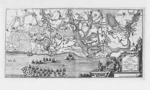
.jpg "Plano da Ile d&39;Aix, 1757")
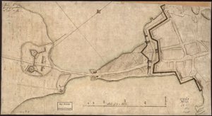
.jpg "Mapa de São Petersburgo, c. 1750")

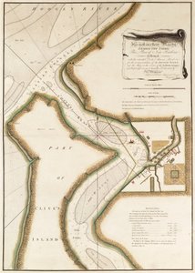
.jpg "Mapa da cidade de Sydney, de todo o mundo viagens (1817-20), publicado em 1822-24")
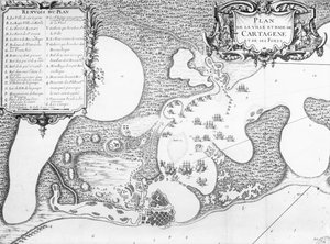
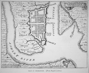
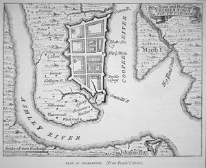
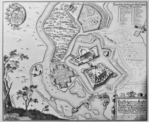

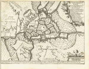



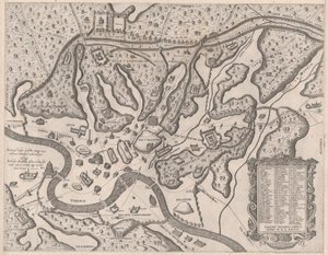
_-_Beleg_van_Bonn_1703Plan_de_la_Ville_de_Bonne_et_du_Fort_de_Bourgogne_()_(title_o_-_(MeisterDrucke-1327941).jpg "Beleg van Bonn, 1703
Plano da Cidade de Bonne e do Forte de Borgonha (...) (título sobre o objecto)")
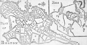
.jpg "Plano da Batalha de Minden, desenhada pelo Capitão William Roy e gravada por Thomas Major, 1760")
.jpg "(Plano da cidade e do porto de Santo Agostinho. LOC 75693262")
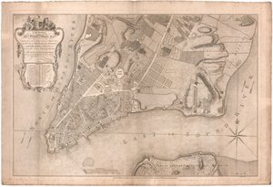
 - (MeisterDrucke-86163).jpg "Fol. 99 Mapa de Saint-Savinien no rio Charente em 1713, de")
.jpg "Igreja e casa de campo com janelas iluminadas")
.jpg "Retrato do rei Ricardo III")
 c1740-50 - (MeisterDrucke-77045).jpg "Kidbrooke Park, Kent, anteriormente atribuído a George Lambert (1700-65) c.1740-50")
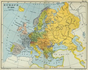
.jpg "Mapa detalhado da península de Galípoli e dos Dardanelos, Turquia, 1915, de «The War Illustrated Album deLuxe», publicado em Londres, 1916")
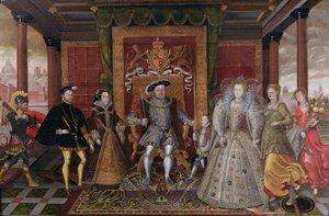
.jpg "Mapa do mundo com as possessões do Império Britânico coloridas de vermelho, c. 1870")


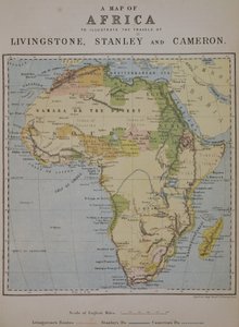
 - (MeisterDrucke-414106).jpg "Mapa da Ilha dos Cães, c.1830 (ver também 87298)")
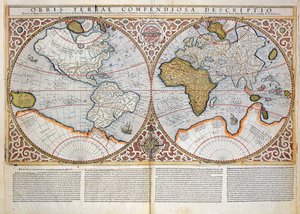
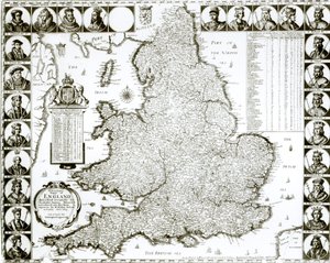

.jpg "Mapa dos jardins fechados e Chateau de Gaillon, de \"Os mais belos bascos da França\", publicado em 1570")
 - (MeisterDrucke-79670).jpg "Mapa da Grã-Bretanha, 1631 (gravura colorida à mão)")
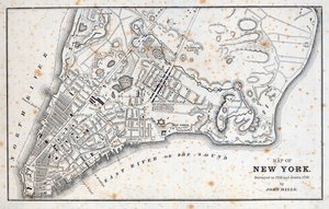
.jpg "Mapa da cidade de Nova York, conforme apresentado pelos comissários, 1814")
.jpg "Mapa de Berlim mostrando edifícios de interesse, 1773")
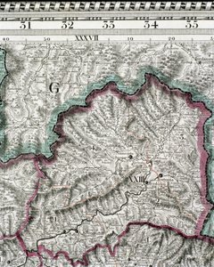
.jpg "Mapa-múndi das linhas telegráficas publicado pelo Gabinete Telegráfico Internacional, 1901. Escala: [c. 1:70 000 000]")
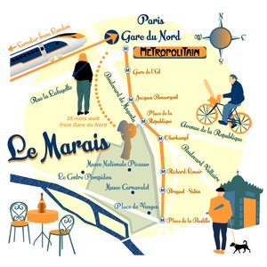
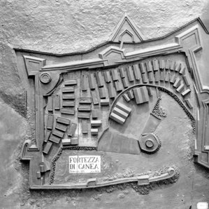
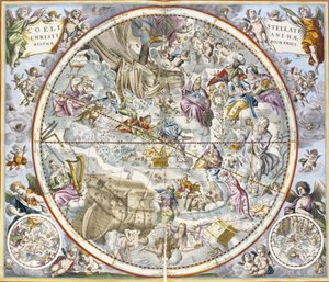
 - (MeisterDrucke-63953).jpg "Mapa de Sussex (gravura a cores)")
 (detail from 330955) - (MeisterDrucke-42965).jpg "Índia e Malásia, de um Atlas do mundo em 33 mapas, Veneza, 1º de setembro de 1553 (tinta em velino) (detalhe de 330955)")
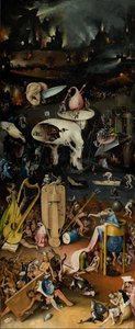

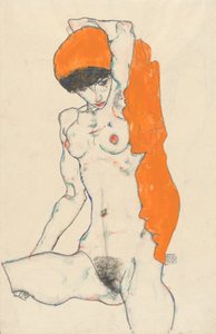
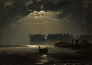
.jpg "Duas figuras reclinadas")
.jpg "Menina a fazer malha, a vigiar uma criança pequena no berço")
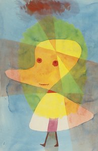
.jpg "Paisagem de inverno, 1835-8")
.jpg "Cabana alpina em tempo chuvoso, 1850")
.jpg "Amendoeira em flor")
.jpg "Judite decapitando Holofernes")
.jpg "Depois do banho, 1890")
.jpg "Salvator Mundi")

 +43 4257 29415
 support@meisterdrucke.com
 Mo-Do: 7:00 - 16:00 | Fr: 7:00 - 13:00